These disciplines encompass the methodologies of water body (oceans, seas and lakes) and watercourse measurement and description necessary for all human activities at sea and along coastlines and rivers.
These can include shipping safety, port and coastline development projects, offshore infrastructure installation (platforms, turbines, etc.), underwater infrastructure inspection, and monitoring water levels in flood risk areas.
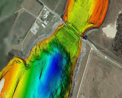
- The goal of hydrography is to map underwater topography (water levels and relief). It deals with the entire information chain, from data gathering at sea to map making.
- Oceanography is concerned with the dynamic mechanisms of the water column: currents, waves and tides.
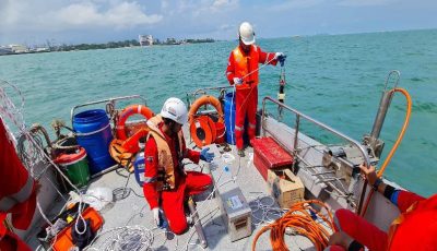
Comprehensive Marine Surveying & Monitoring Services
- Multibeam & Singlebeam Bathymetric
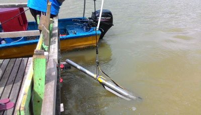
- Side Scan Sonar Services
- Sub-Bottom Profiling
- Magnetometer Services
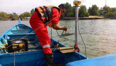
- Positioning Services
- Tidal Observation
- Current & Wave Monitoring (ADCP)
- Reclamation
- Dredging Progress Monitoring
- Volume Computation