Terrestrial Laser Scanning (TLS) involves stationary setups for highly detailed, dense, and accurate point clouds of relatively small areas, while Mobile Laser Scanning (MLS) uses scanners mounted on vehicles or robots for rapid data acquisition over large areas, providing broader coverage at a faster pace but with potentially lower density and higher noise.
TLS is ideal for high-precision modelling and condition monitoring of specific objects, whereas MLS is suited for large-scale mapping, urban planning, and infrastructure surveys where speed is a priority.
Combining both methods can yield high-quality point clouds by using MLS for general coverage and TLS to add detail to specific areas of interest.
- High Accuracy & Density: Offers millimeter-level accuracy and very dense point clouds, ideal for detailed modelling.
- Precision: Provides high precision for capturing intricate architectural details and structural elements.
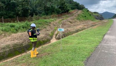
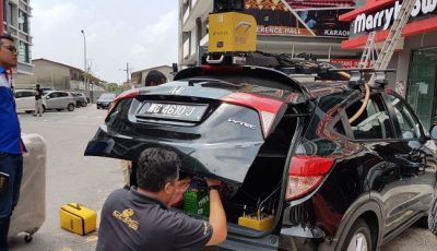
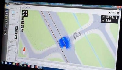
Comprehensive Terrestrial & Mobile Laser Scanning Services
- Building & Platform Modelling
- Runway Monitoring
- Reverse Plan Generated
- Build up Modelling
- Defect Inspection