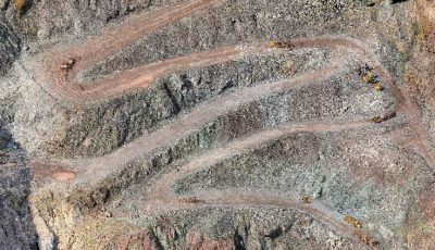
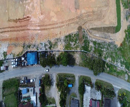
Complete Aerial Survey & Mapping
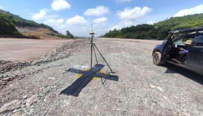
A drone survey refers to the use of a drone, or unmanned aerial vehicle (UAV), to capture aerial data with downward-facing sensors, such as RGB or multispectral cameras, and LIDAR payloads.
During a drone survey with an RGB camera, the ground is photographed several times from different angles, and each image is tagged with coordinates. Photogrammetry combines images that contain the same point on the ground from multiple vantage points to yield detailed 2D and 3D maps.
We provide an all-in-one mapping & survey solution for a variety of industrial purposes as we are well equipped with UAV and LiDAR technologies.
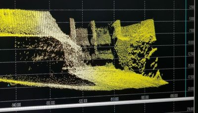
Data visualization & deliverables:
- Orthomosaic: Generates a photorealistic representation of the area.
- Digital Surface Modelling: Shows land surface including all objects present (e.g. plants)
- Digital Terrain Modelling: Shows land surface without any object (e.g. plant)
- Contours Line Modelling: Lines are generated to indicate ground elevation or depression.
Comprehensive LiDAR / Aerial Drone Mapping Services
- Mining Progress
- Plantation Monitoring
- Plantation Tree Counting
- Construction Work Imagery
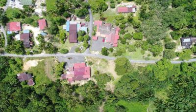
- Large Scale Area Monitoring